


Travelling around Liverpool, one perhaps surprising feature is that there are no rivers, which is unusual in such a large city. These are often called the lost rivers of Liverpool.
In fact heading north the first significant river is the Alt, which meets the sea near Formby, whilst to the south it is only in the outskirts of Widnes that the much smaller Ditton Brook meets the Mersey.
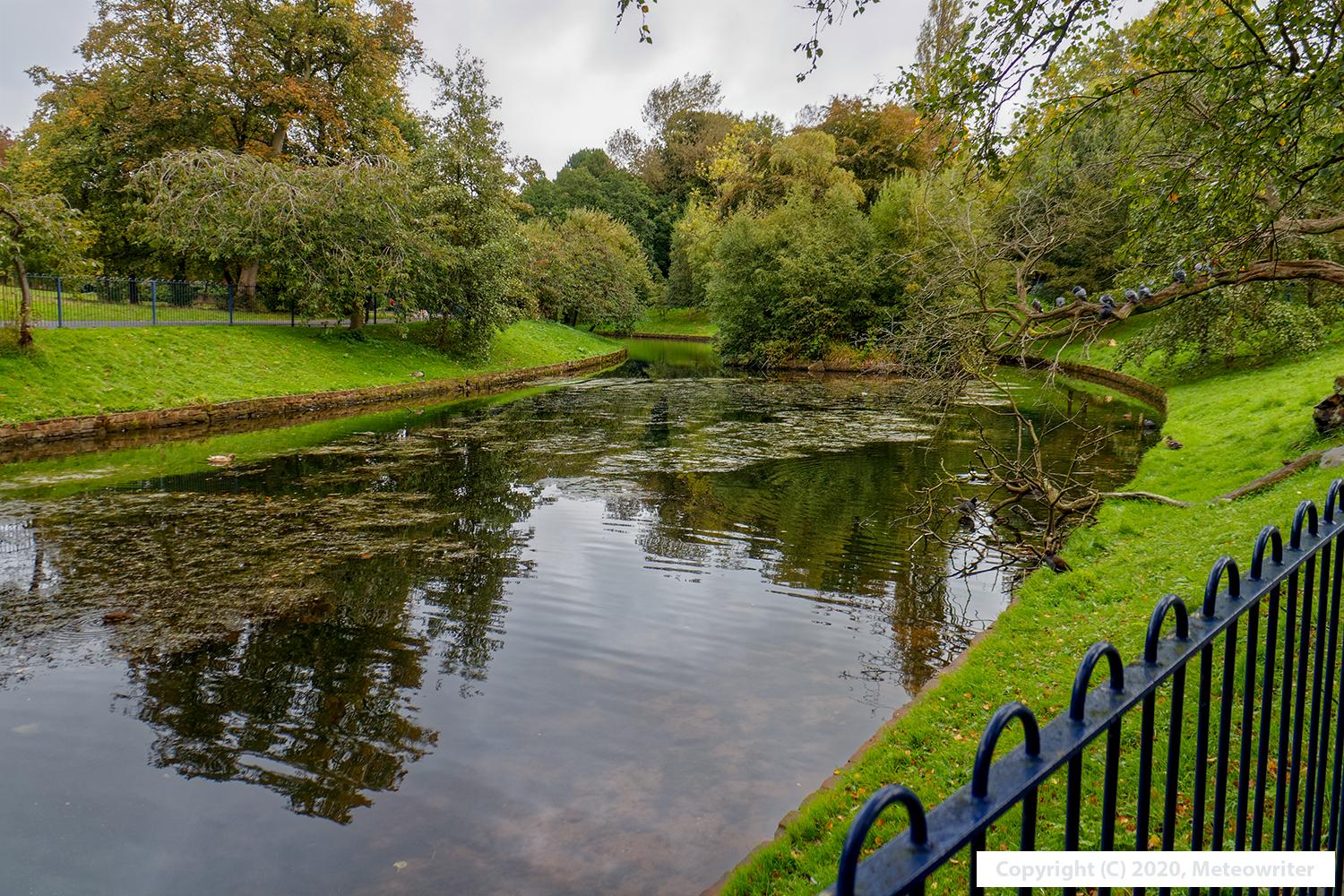
This wasn’t always the case though, and several rivers once flowed into the Mersey along the waterfront in Liverpool. These have largely disappeared due to drainage works but some signs remain, most notably in Sefton Park, where the two small streams that flow into the main lake there once fed the Jordan River, whose estuary had the delightful name of Otters Pool. The lake now drains into a culvert but a wide leafy park – Otterspool Park – follows the route of the old watercourse down to the shoreline.
Further towards the coast, perhaps the most significant river of all was the Pool, whose wide tidal inlet or estuary was built over in the early 1700s to create Liverpool’s first dock: the Old Dock. The river used to flow down from the Edge Hill area of the city passing what is now the site of Liverpool Lime Street Station, and reached the Mersey close to modern-day Albert Dock.
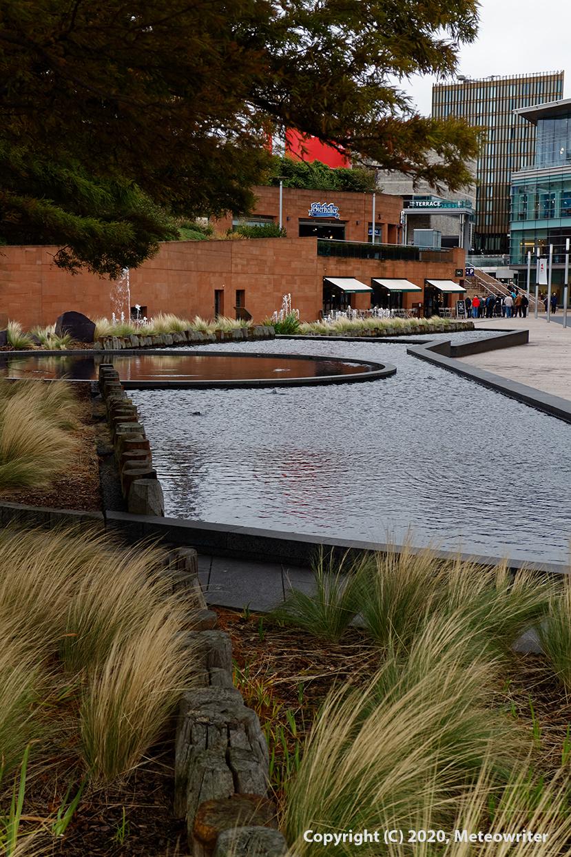
In the Liverpool ONE shopping complex, a water sculpture called the Lyver Pool celebrates the history of the river and the dock. Staff from Merseyside Maritime Museum also run fascinating tours to the remains of the dock.
The largest of all was Garston River, which had several watermills along its course and a fishing port at its tidal inlet. However, as with the Pool, the estuary was built over to create docks, which remain in use to this day as the Port of Garston.
The most dramatic feature, though, was over the water in Birkenhead, in the form of Wallasey Pool. This was almost a mile across and extended so far inland that the northeastern tip of the Wirral was almost an island. However it was again built over, in this case to create Birkenhead Docks, although traces of the river that feeds into it (the Birket) can still be seen, such as near Leasowe Lighthouse on the north Wirral coast.


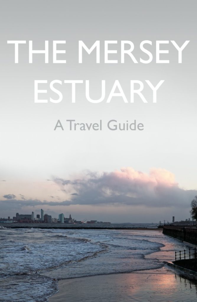
If you would like to learn more about the Mersey Estuary, my book the Mersey Estuary: A Travel Guide says more about the geology, environment and lost rivers of the estuary, along with suggestions for places to visit, tourist attractions, walks and cycle rides and background on the history and wildlife of the estuary. It is available from most bookshops and online stores and the publisher’s website (www.troubador.co.uk) gives more details, including a short video about the book.