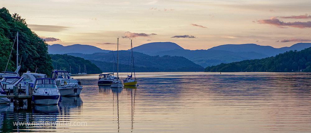
Windermere is the largest lake in the Lake District with some superb places to walk in the surrounding watershed. While thinking back to past trips, I thought I’d share a few highlights from a walk around the lake’s catchment a few years ago.
The catchment covers an area of about 235 km2 and its boundary traverses some of the Lake District’s finest scenery. Rivers that flow into the lake include the Rothay which passes through the smaller lakes of Grasmere and Rydal Water and the Brathay which rises in the Coniston Fells and is joined by Great Langdale Beck.
The outlet from the lake is at Newby Bridge where a weir marks the start of the River Leven, which flows into the Leven Estuary and Morecambe Bay.
Viewed on a topographic map, the watershed appears as a meandering line snaking its way through the wooded areas alongside the lake and then over the peaks and passes to the north and west. The highest peak is Bowfell (902m). It was seeing just such a map that planted the idea for this walk, which I did over several day trips.
Windermere watershed walk
The start point was Newby Bridge and it was a great feeling to cross the bridge over the outlet from the lake knowing that there would be many miles of walking before seeing it again. Heading up the eastern side of the lake, highlights included the bluebells in the woods and great viewpoints at Gummer’s How and Rosthwaite Heights.
Beyond Windermere the views opened out along the western side of the Kentmere Horsehoe, a classic high-level walk that starts in the Kentmere Valley. Turning west, the boundary leads to Kirkstone Pass, site of the Lake District’s highest inn – the Kirkstone Inn – and then up the imposing slopes of Red Screes. Easier terrain then leads to Fairfield, which is the highest point on a popular horseshoe walk from Ambleside.
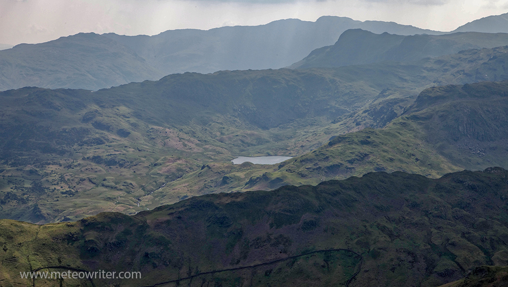
After the pass of Dunmail Rise there is a climb to a plateau area and superb walking past the Langdale Pikes. Ice-shattered terrain then leads to Bowfell, Crinkle Crags and Pike O’Blisco before dropping down to the Wrynose Pass and a trip through the Coniston Fells via Wetherlam.
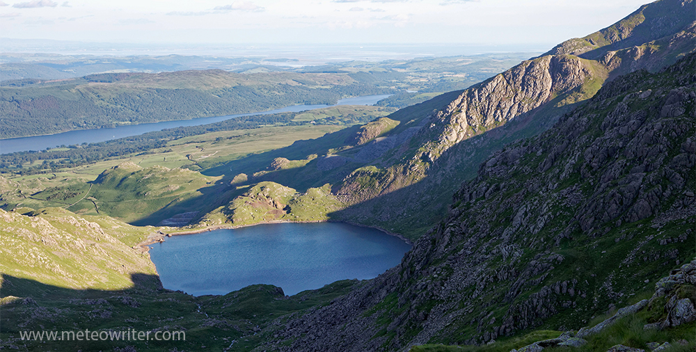
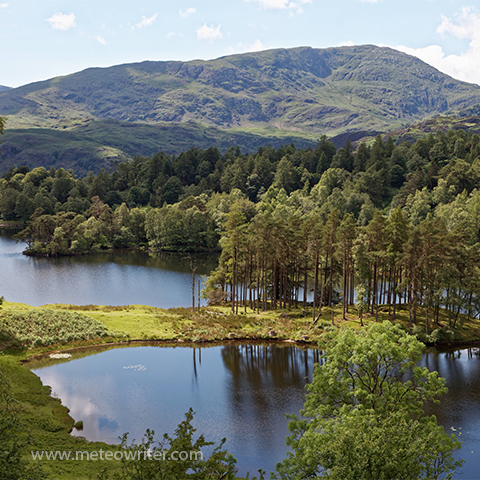
Approaching the western shores of the lake, low-lying Black Crag is a superb viewpoint and the route skirts the beautiful artificial lakes of Tarn Hows. The final part of the trip was through Grizedale Forest and woods and farmland before the return to Newby Bridge and a celebratory meal and drink at the Swan Hotel.
Conclusions
Overall it was a great trip through some spectacular high-level terrain. Other highlights included mountain sunsets, coastal views, seeing Windermere from so many different angles and the open air sculptures of Grizedale Forest. Reaching Newby Bridge again was also special.
If done as a single walk, the distance would be about 60-65 miles with about 15,000 feet of ascent, although as a series of day trips it was considerably more than that. As car-free transport is encouraged in the Lake District I used public transport throughout to get to the start and end points of walks, which worked well.
Credits This post is based on a longer, more technical article published in the newsletter of the Freshwater Biological Association, Issue No. 69, Summer 2016. The walk was done as a contribution to Windermere Reflections: a three-year project to raise awareness of water quality issues in Windermere. The programme was run by a team based at the University of Cumbria campus in Ambleside and was principally funded from the Heritage Lottery Fund, with match funding from the Environment Agency, Lake District National Park, National Trust and the university.
Leven Estuary If you would like to know more about the history and wildlife of the Leven Estuary, my book The Cumbria and Lake District Coast features the estuary along with others around the coast of Morecambe Bay, Cumbria and the Solway Firth. See this webpage for more information.
Safety This Windermere watershed walk was put together using existing footpaths but is not a recognised trail. As with any walk of this nature, go prepared for difficult high level terrain, poor weather and challenging route finding; to find out more the Lake District National Park website has some great advice on hill walking weather, safety and equipment.
